For optimal viewing of the Emergency Management Map Viewer on smaller screens, follow these steps:
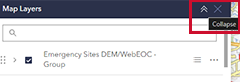
- Select Desired Layers: Via the Map Layers section and choose the layers that best suit your needs.
- Collapse Map Layers: After selecting your desired layers, collapse the Map Layers panel to streamline your view.