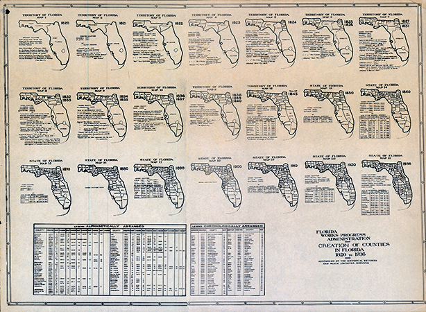
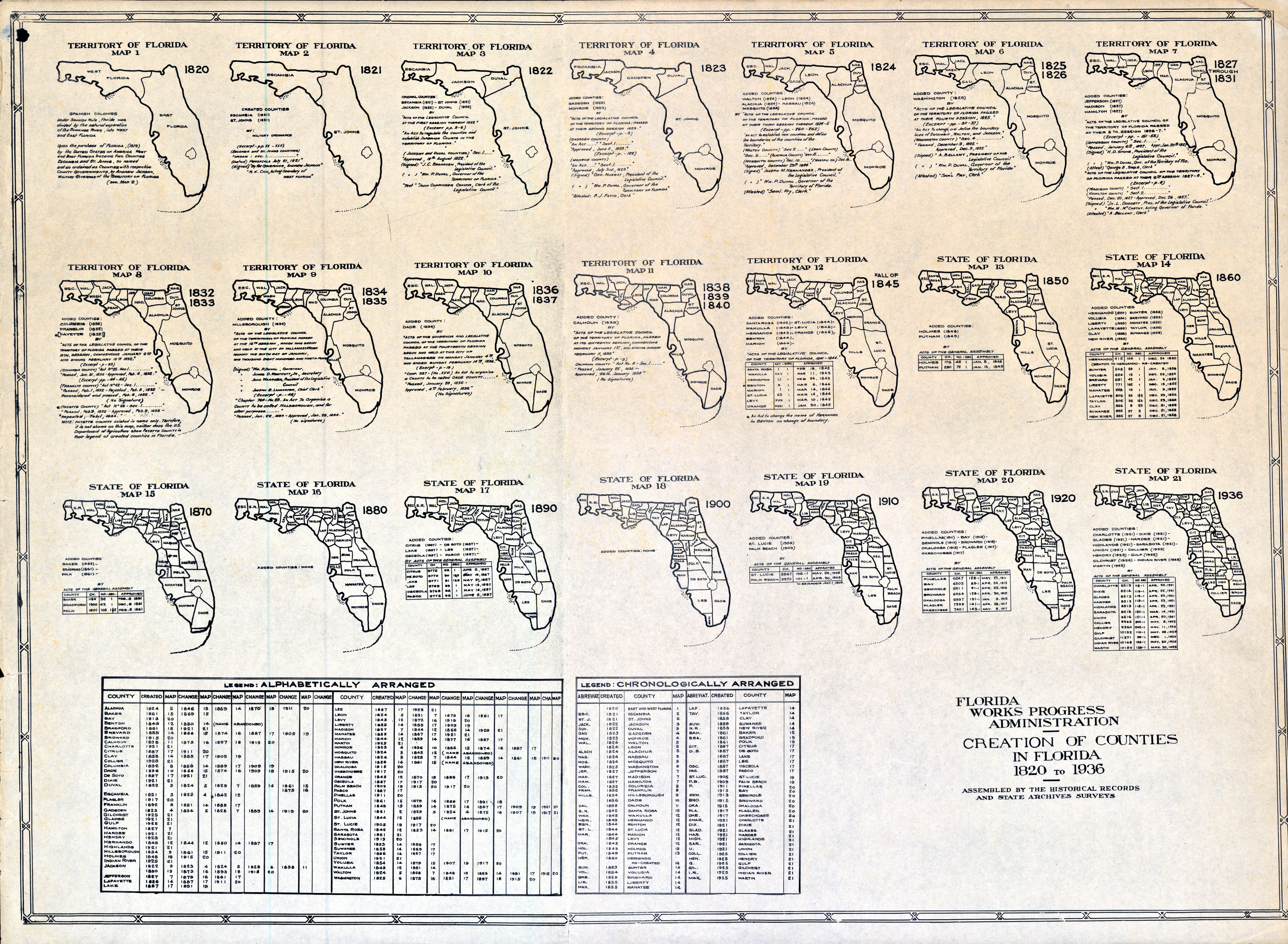
Downloadable Maps
Enter your search term below and click the search button to browse the results, or simply scroll through the maps.
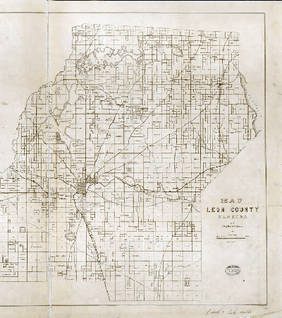
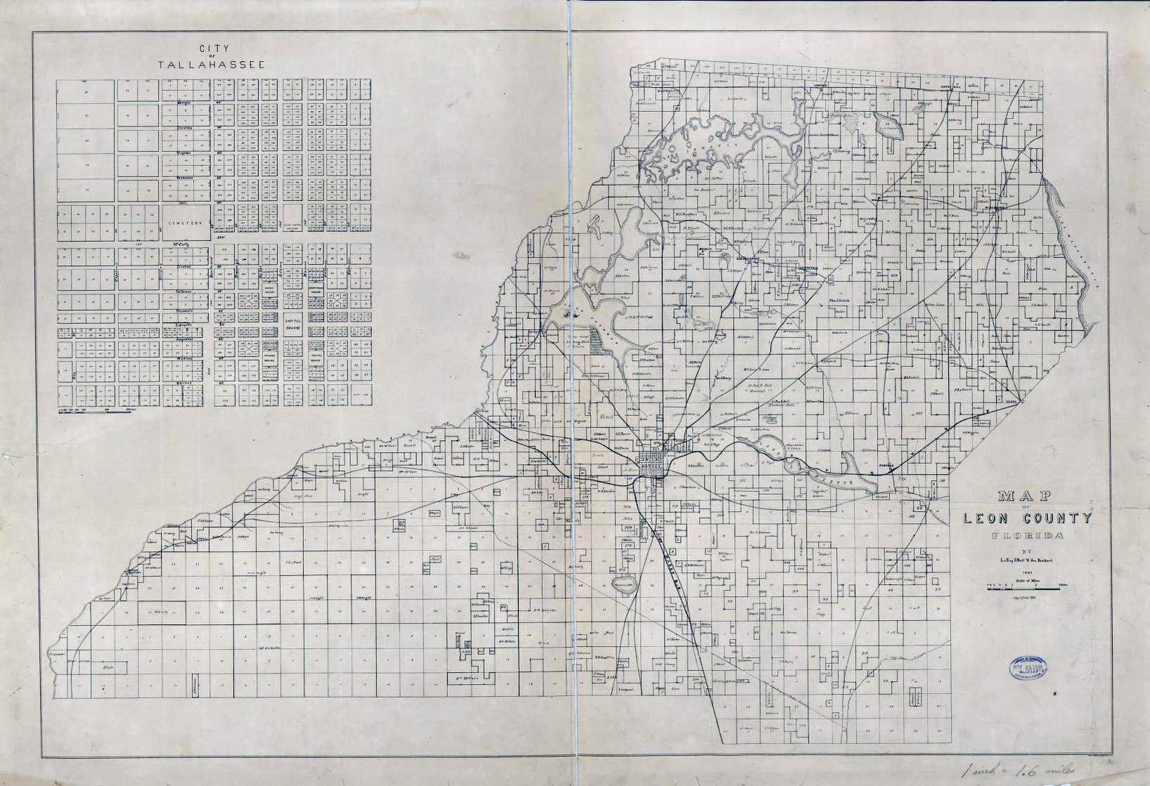
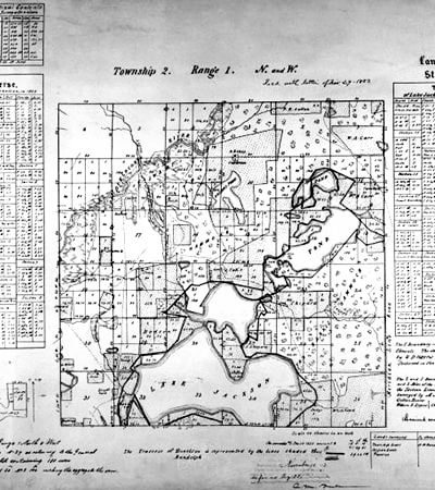
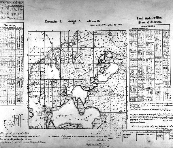
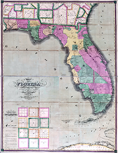
1883 Leon County
Leon County 1883 Tax Cadastral Map with City of Tallahassee inset map
Hi Res⏷ Low Res⏷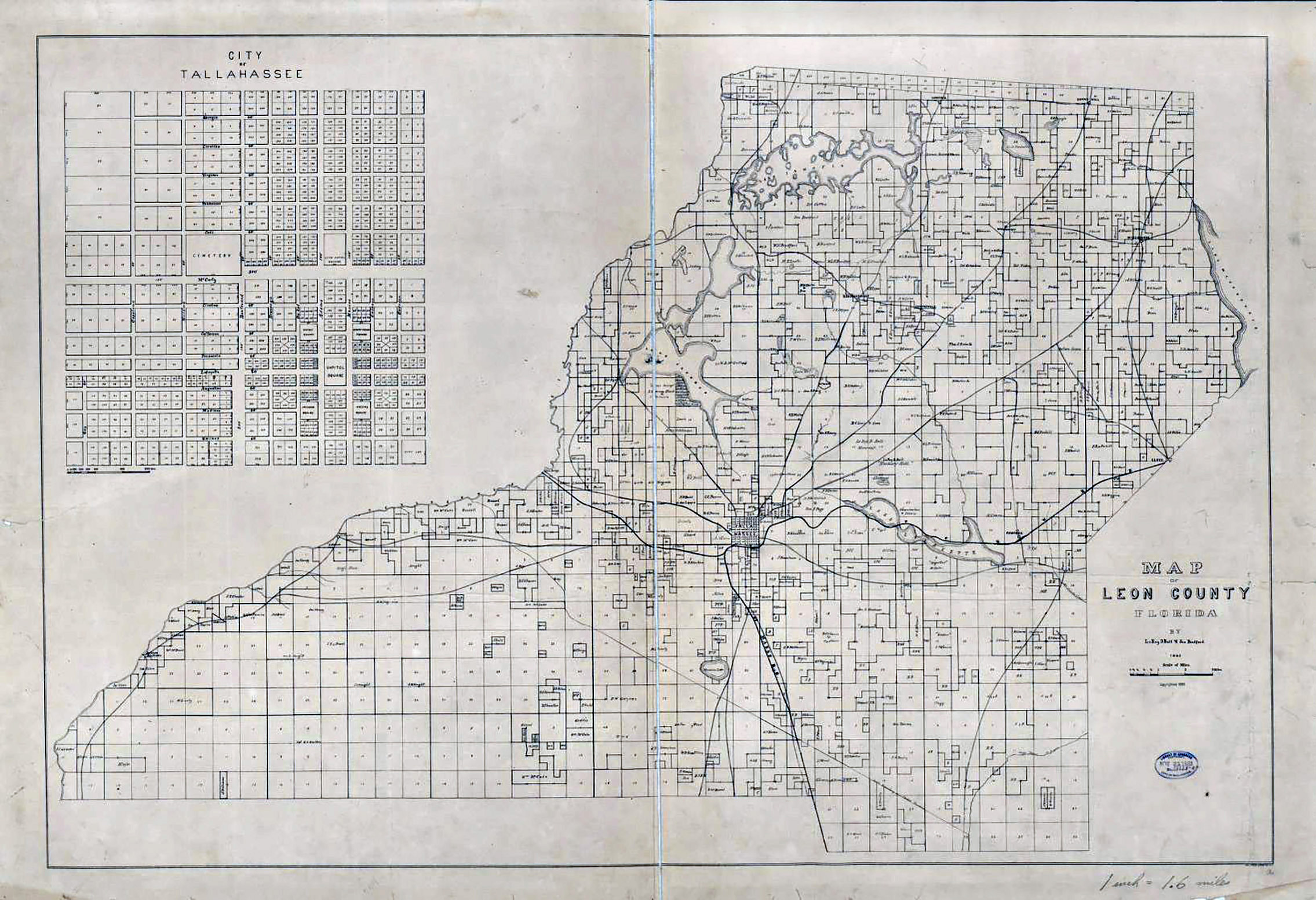

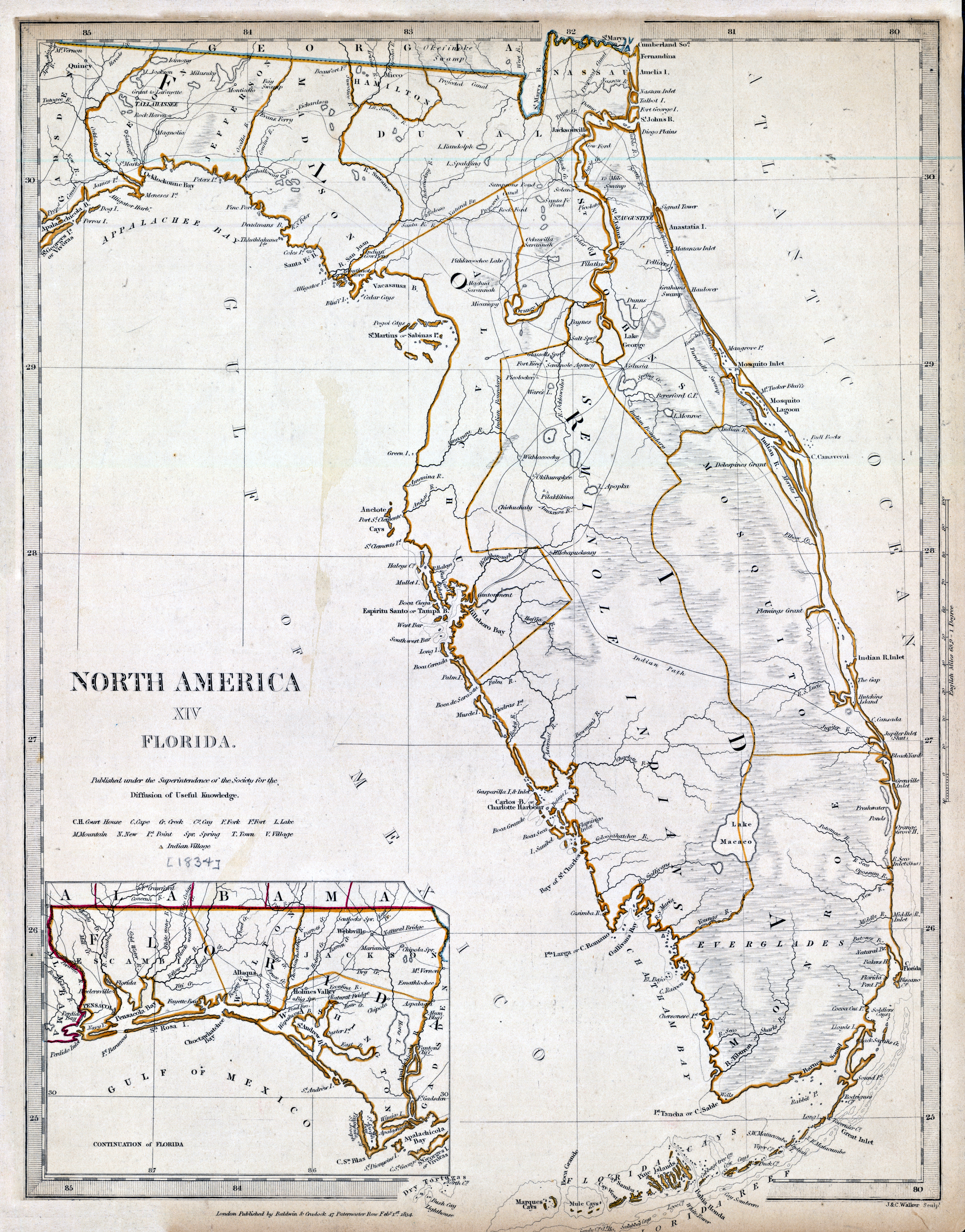
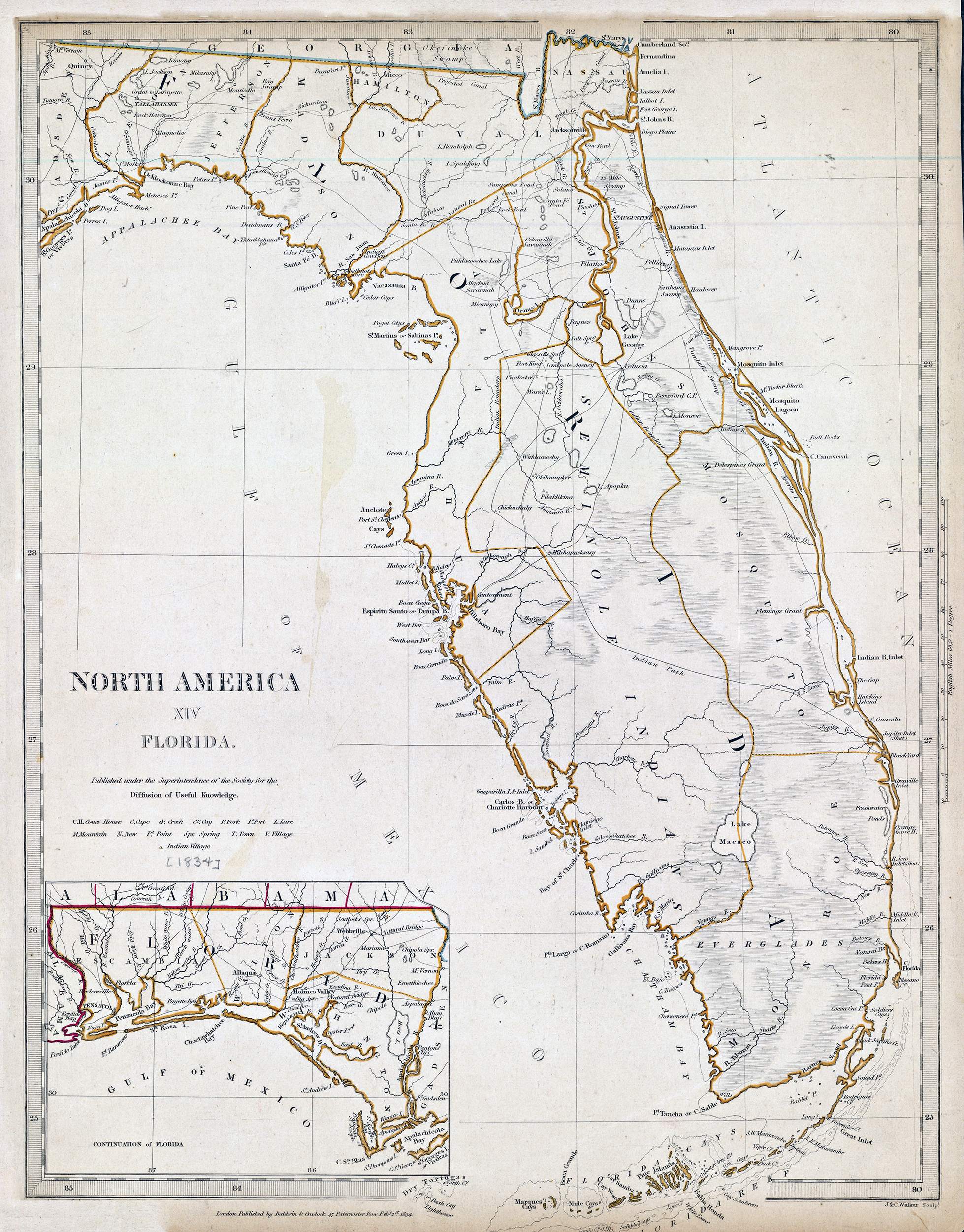
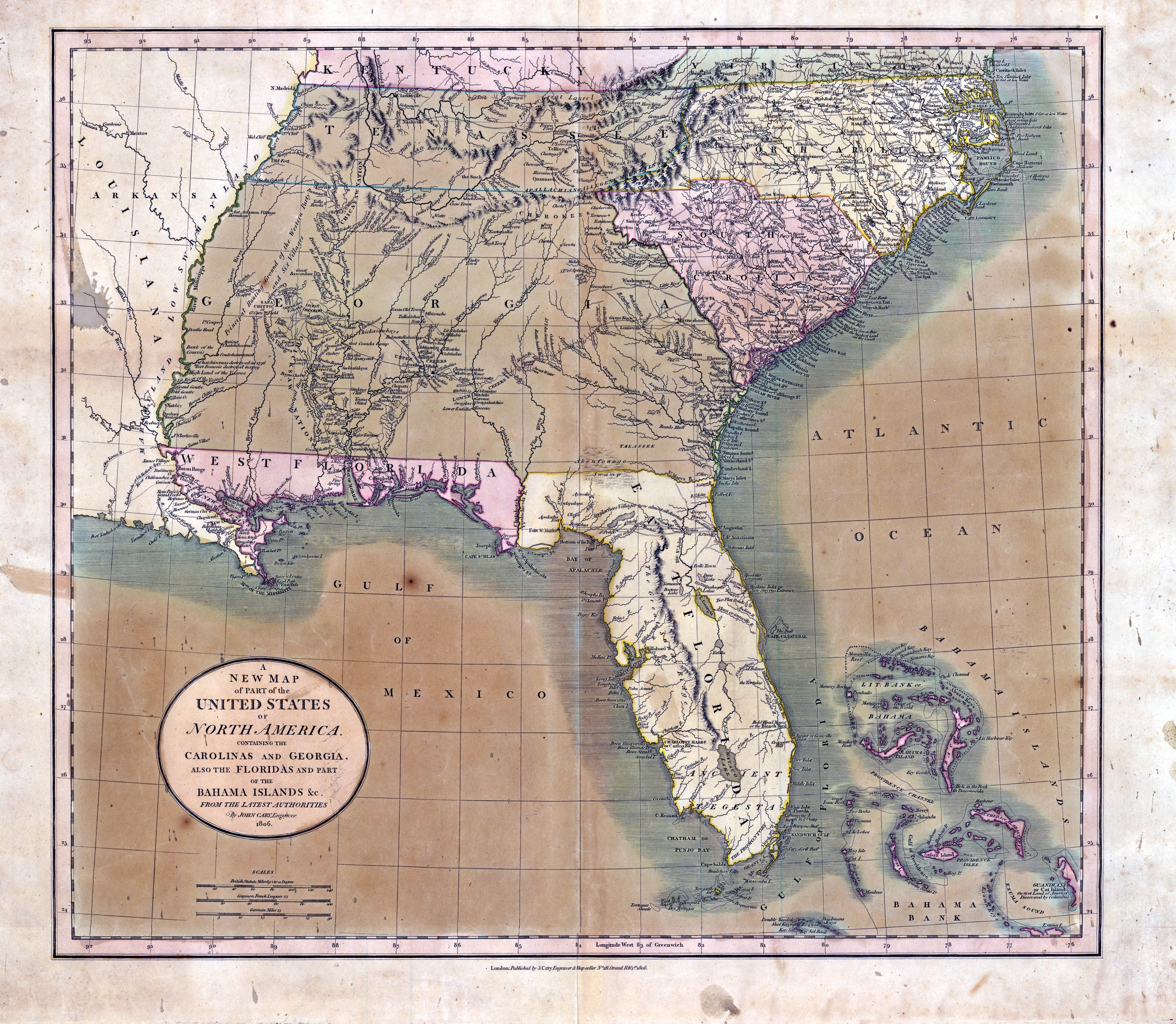
Cary’s Southeastern US - 1806
Cary’s Southeastern United States covering Florida's Second Spanish Colonial Period (1783-1821).
Hi Res⏷ Low Res⏷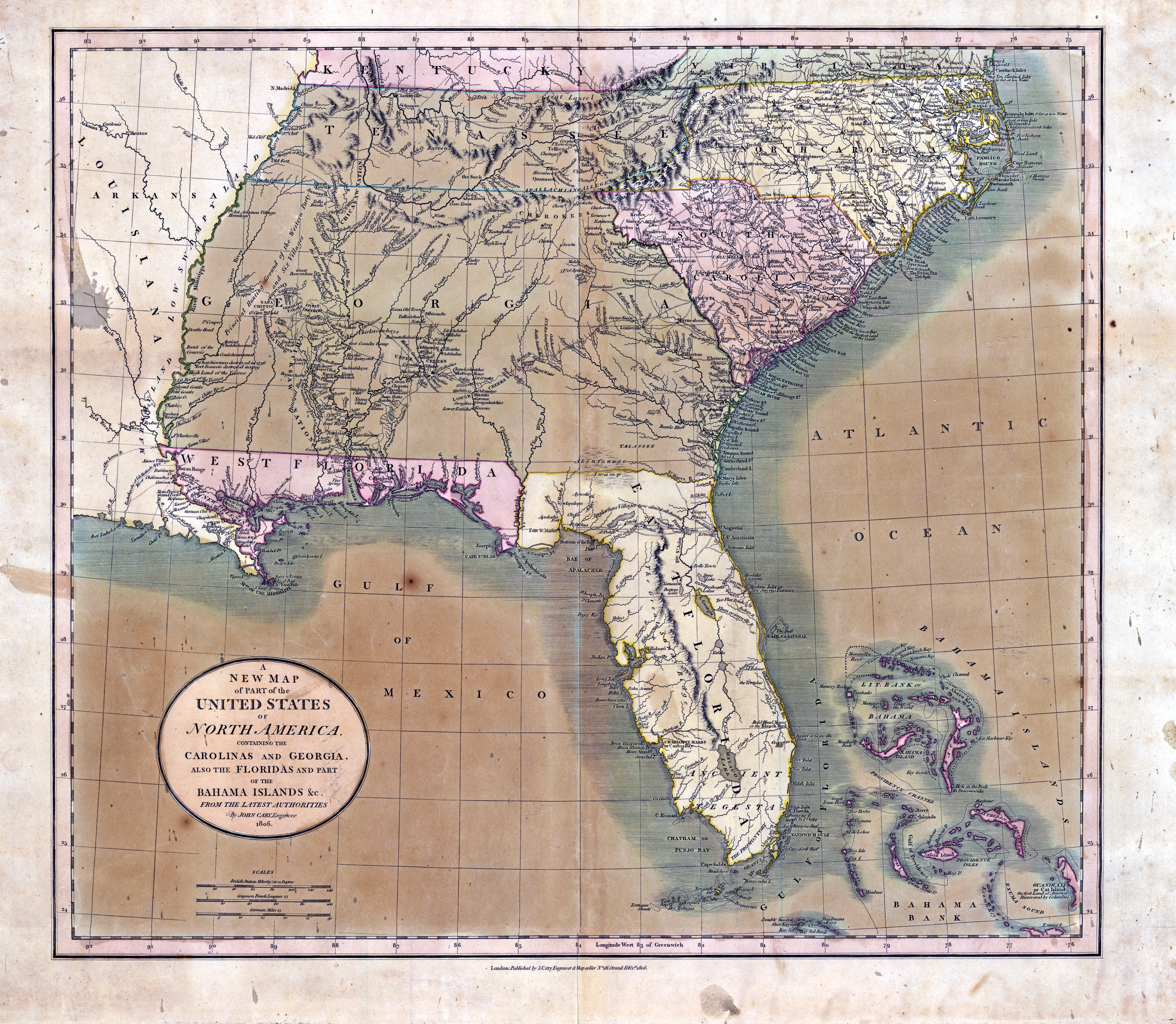

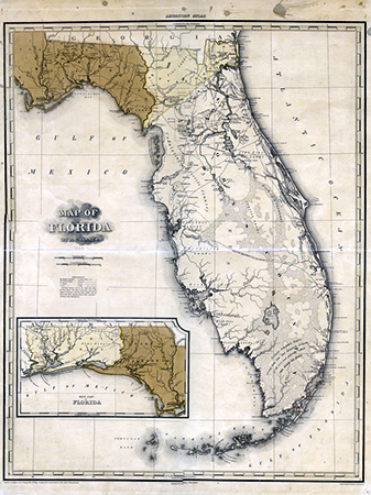
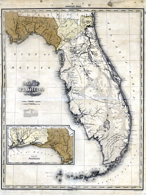
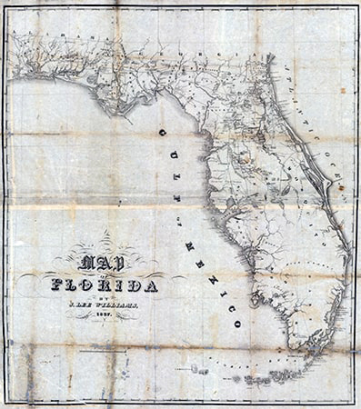
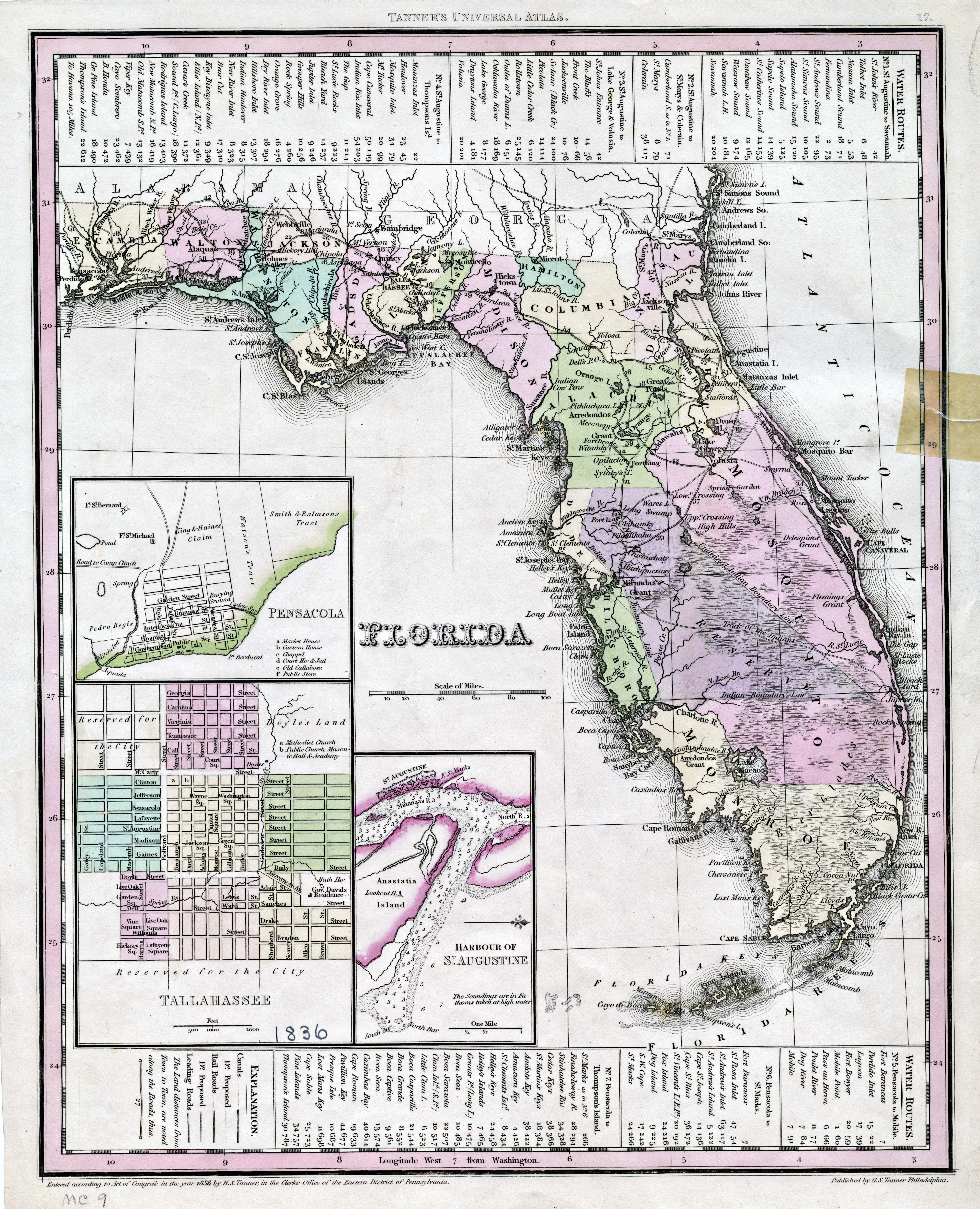
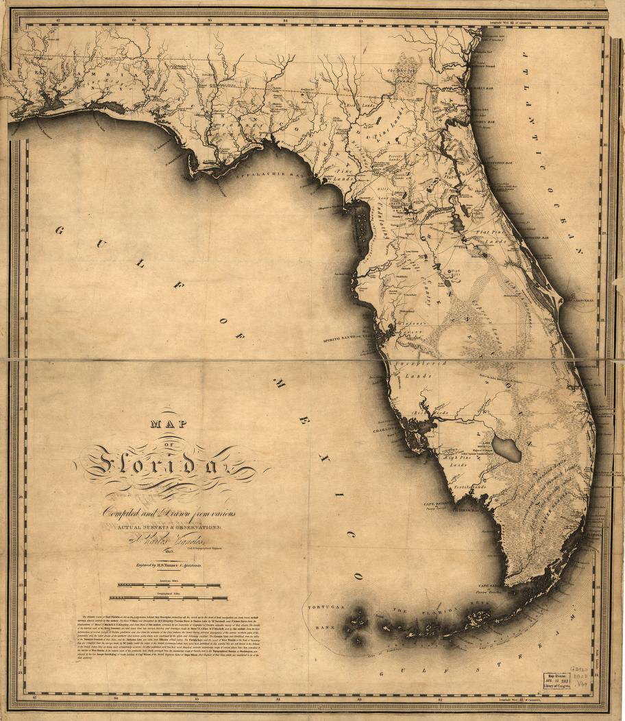
Tanner’s Map of 1833
Includes mileage charts for various routes. Insets: Pensacola ; Tallahassee & Harbour of St. Augustine.
Hi Res⏷ Low Res⏷
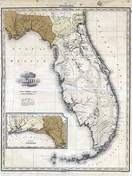
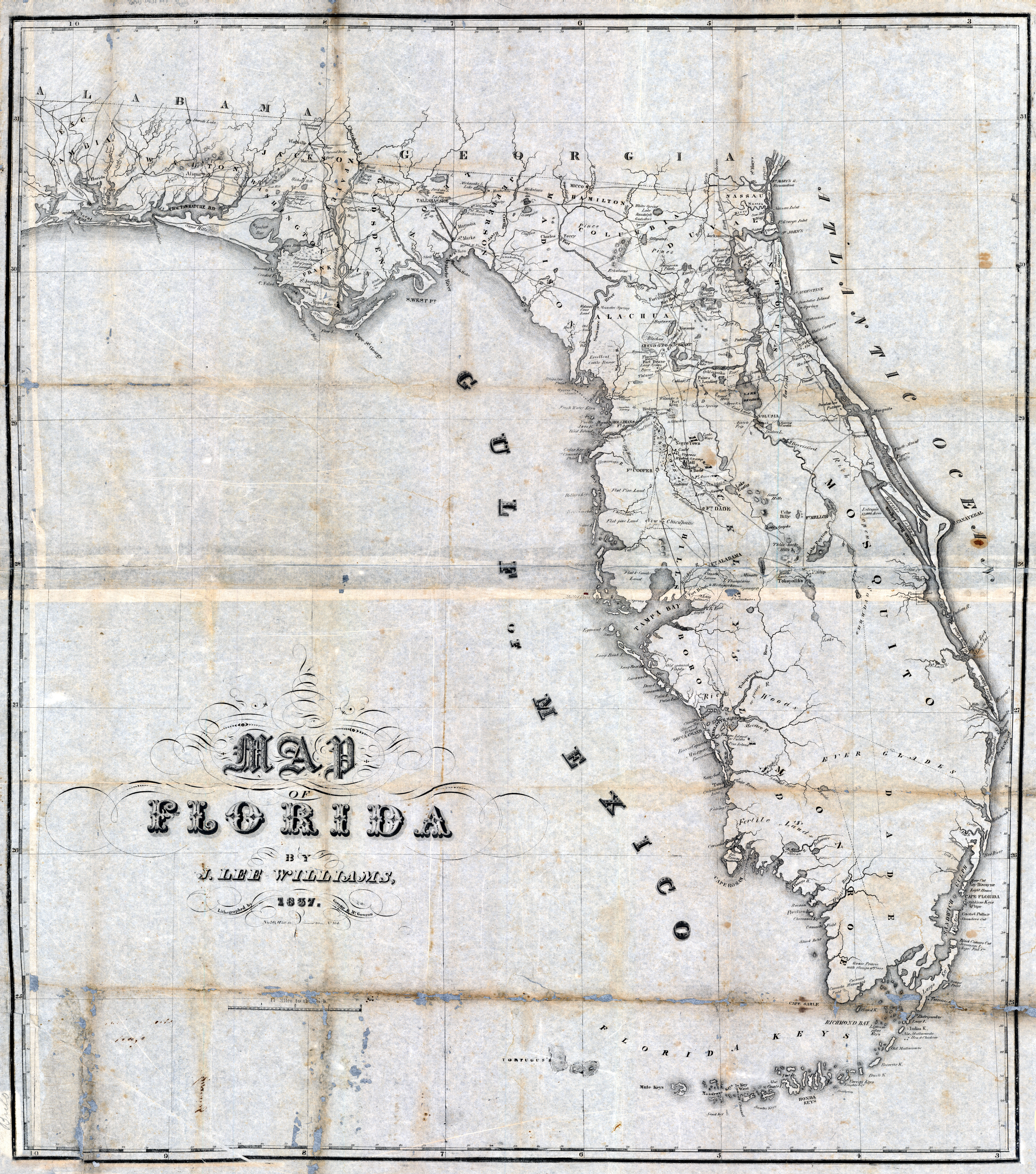
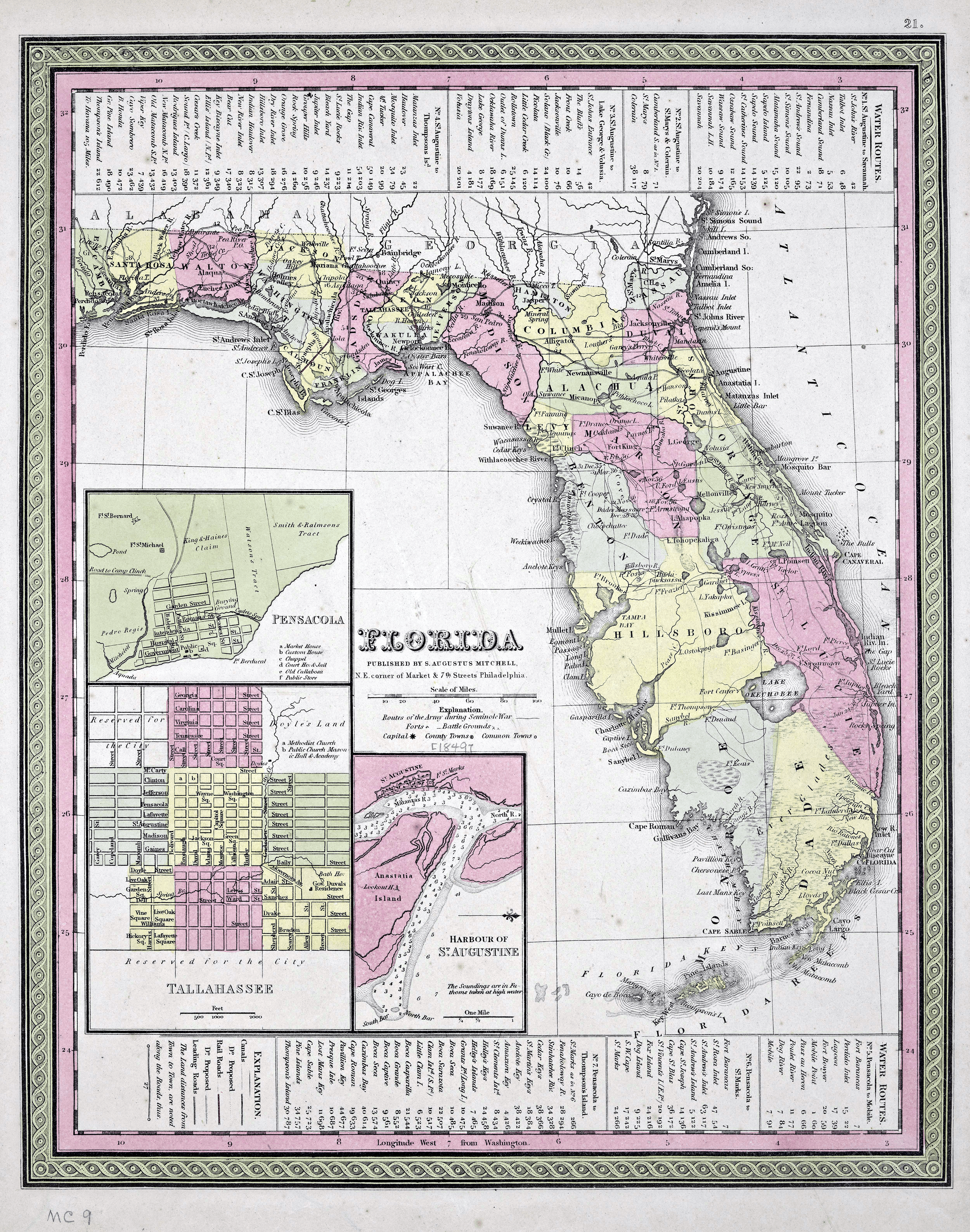
Tanner’s Map of 1849
Includes mileage charts for various routes. Insets: Pensacola ; Tallahassee & Harbour of St. Augustine.
Hi Res⏷ Low Res⏷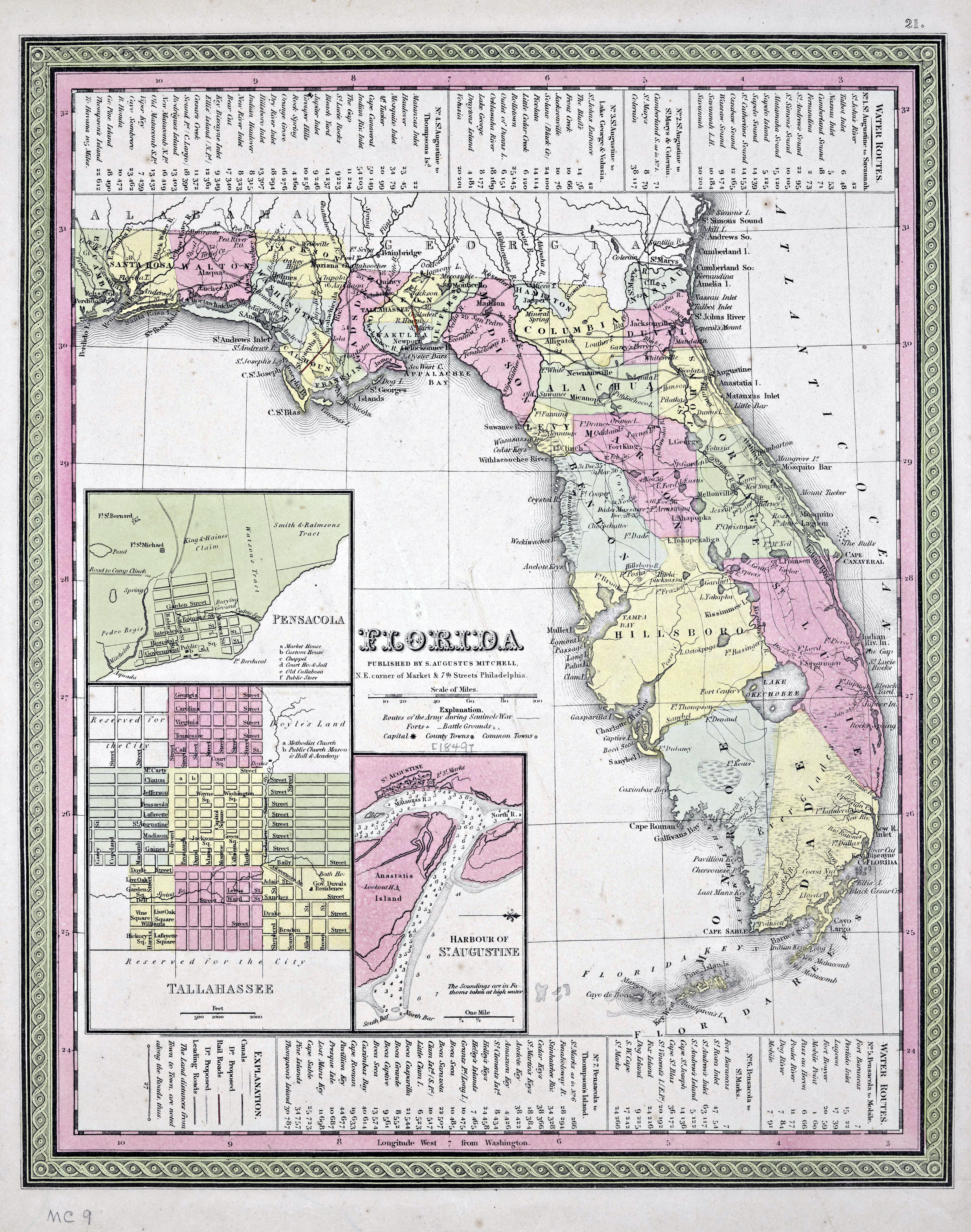
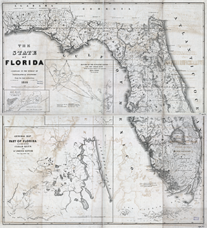
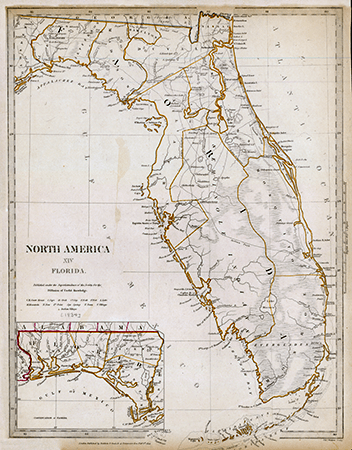
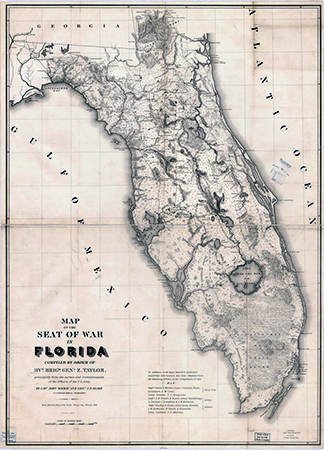
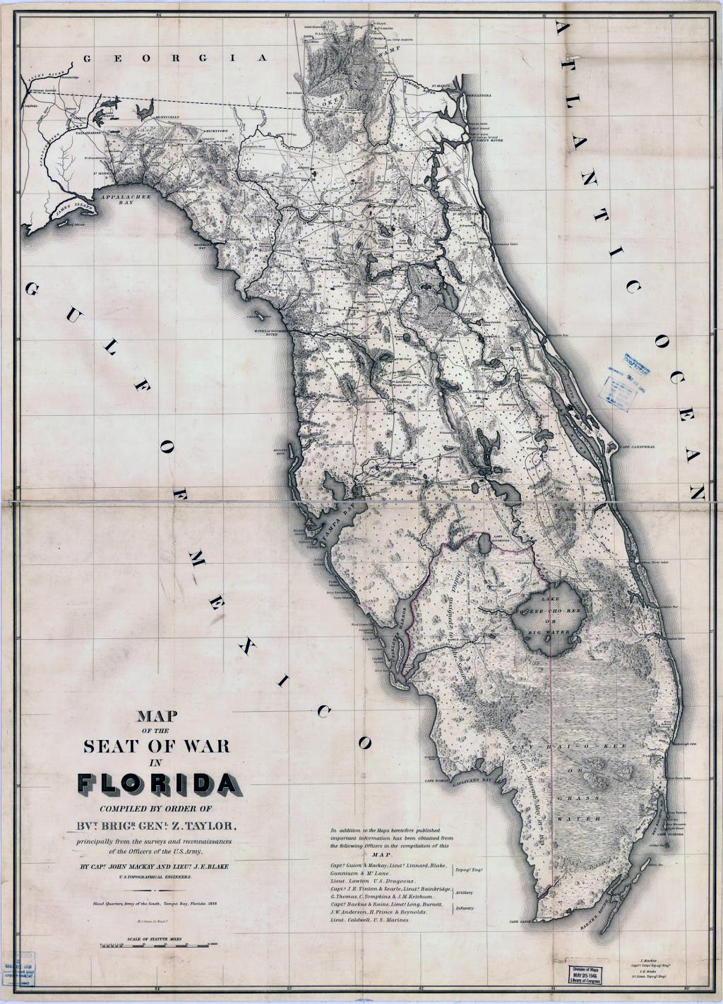
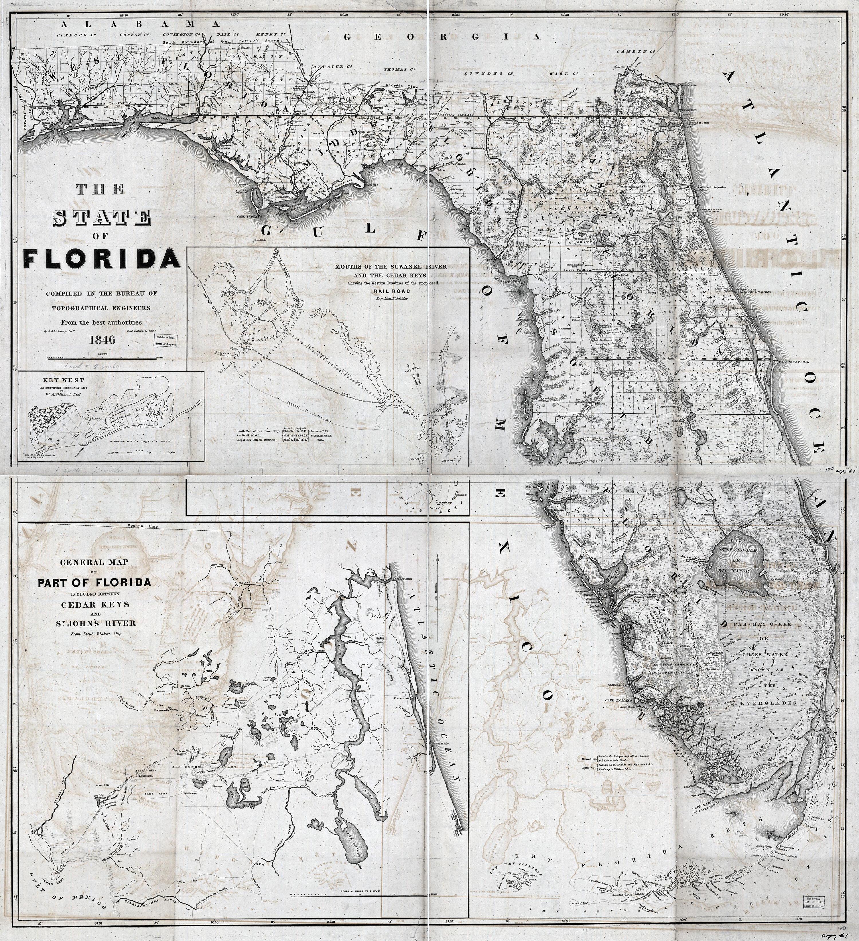
State of Florida Map 1846
From the U.S. Senate Executive Document v.2 No.2-5, in 30th Cong., 1st Sess., 1847-48, serial set #504.
Hi Res⏷ Low Res⏷

